Leveraging Data to Improve our Communities
Combining knowledge of GIS with real-world field experience, Nitsch performs spatial analysis and asset management work for municipal, state, federal, institutional, and private-sector clients. We use GIS technology to improve project delivery and help clients attain their data management goals.
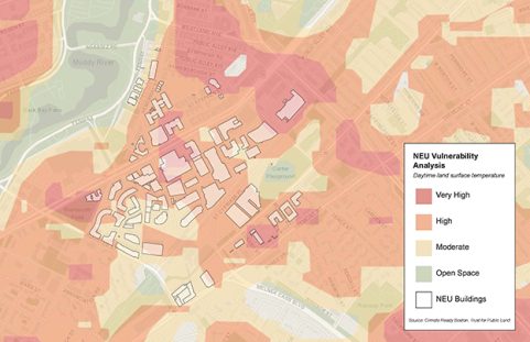
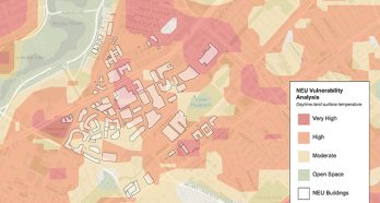
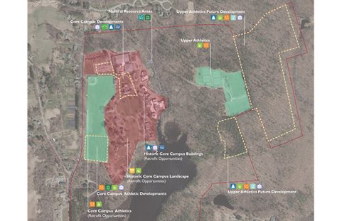
By overlaying many different site factors, GIS analysis can help simplify the planning process when complex site or land issues are involved. Typical project types include stormwater and green infrastructure planning, supporting public works in utilities and asset management projects, traffic and transportation analysis, and resilience and climate change adaptation planning projects.
Our specialties include:
- Procuring, developing, and integrating data
- Capturing and managing data for asset and infrastructure management
- Developing or updating information management systems
- Preparing mapping for local, state, and federal EIS and EA Submittals
- Developing base mapping and planimetrics
- Supporting master planning
- Supporting impact analysis
- Supporting natural resource management
- Supporting cultural resources studies
- Supporting shoreline management plans

